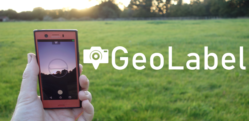
GeoLabel ( download from the Play Store ) is a simple, yet very practical, tool that allows you to take photographs from your Android phone, and have them automatically labelled with data from the phone’s positioning system, timestamps and any extra notes you need to add to them.
Photos are grouped into surveys and can be downloaded from your phone just as you would with the regular camera or shared directly from the app. In addition to labelling the image all the location data will be added to metadata so it is easy for other software to pick it up.
This is particularly valuable for people doing site surveys as part of outdoor work, for recording farming or agricultural work and for keeping a record of the progress on construction and building projects. Field scientists, geologists and archaeologists can use it to record the exact location of interesting features and then geotagged images can be imported into your GIS tool of choice. Anyone needing image labels will find GeoLabel a very practical app.

GeoLabel Menu 
Survey Options 
Survey View
GeoLabel is free to download with an optional ( but cheap! ) option to upgrade to a Pro version. The free version is limited in that you can only create five surveys ( each survey can contain any number of pictures ) and it watermarks images. The goal of the project has always been to create something that is simple, flexible and useful for professionals and amateurs in many different situations. We hope that it will be useful to you, as well.